

Design software
Design time
Reliability results
Catalogues
Plant size
Export processed
Simplified
- Short
- Limited
- Only 1 produttore
- Small

CAD
- Medium
- Low
- Any
- Only drawings
IrriPro

- High

- Any
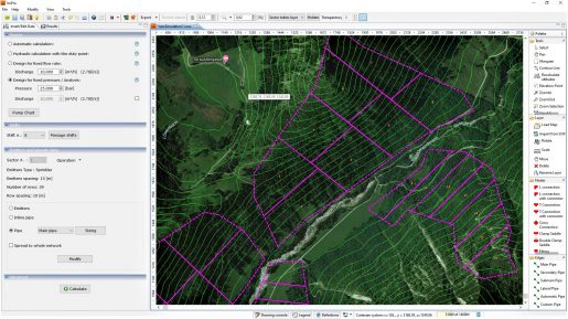
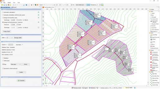
Consider by design
Slope
Water speed in pipe
Continuous head losses
Localized head losses
Complete system calculation
Temperature
Hydraulic sizes(calculation)
IrriPro
- Variable point by point
- Calculated as unknown

- For any elements
Altri software
- Constant by type of pipe
- Set as constant value
- Calculated with equivalent discharge
- Calculation for single pipe / block
- Rough evaluation
Errore potenziale
- 40% uniformity value
- High
- 30% total head losses
- 50% total head losses
- 7-10% total pressures
More info
 The strict criterion uses all the equations of hydraulics for the hydraulic calculation including the characteristic equation of the regulators. Simplified methods use only the motion equation by imposing the speed value
More info
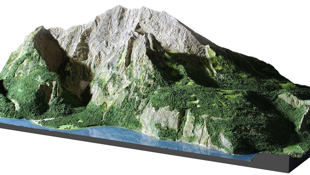
![]() As an example, a 5% error in estimating the slope of a 75-meter-long side pipe can lead to an error in the evaluation of the flow rates, up to 25%.
As an example, a 5% error in estimating the slope of a 75-meter-long side pipe can lead to an error in the evaluation of the flow rates, up to 25%.


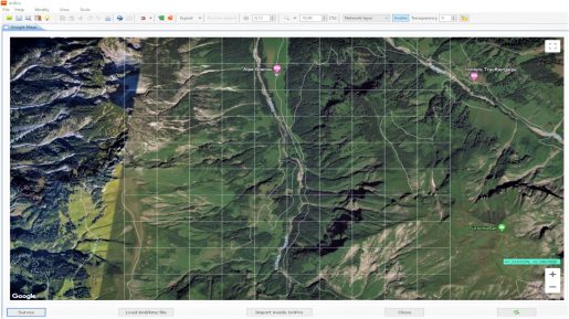
Are the data acquired from Google Maps reliable?
 From our experience and from studies carried out by various Italian and foreign universities the answer is yes. The quality of the GIS data extracted from the Google Maps service is of equal or higher level than the technical cartography in 1: 5.000 scale and therefore sufficient for the design of irrigation systems. Here are the results of some studies:
How accurate are the elevation data provided by Google?
The accuracy of the altimetric data varies from 3 arc-seconds (1 point every 90 meters) to 1/3 arc-second (1 point for every 10 meters), up to 1/9 arc-seconds (1 point every 3 meters) in the U.S. and in many urban areas. The service, made available from Google Maps and Google Earth, comes from the Shuttle Radar Topography Mission (SRTM) project (http://www2.jpl.nasa.gov/srtm/), U.S. Geological Survey (USGS) (http://www.usgs.gov/) and others cartographic service. By performing surveys on some sample areas (according to studies in Italy and Nigeria) it's showed a average error about altimetric data of 2,5 meters.. The mapping with satellite maps is always relative to the Google Maps service.